Measurement Site Location
There are three ways to add measurement sites
- Paste the tabulated data (e.g. from Excel or tab separated text) into the measurement site list.
- Click to place a Measurement Site on the map by selecting the appropriate toolbar tool:

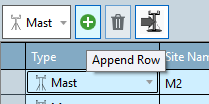
Add a Measurement Site by clicking the add button, then fill in the details manually.

Selecting a measurement site allows you to edit descriptive metadata such as the structure type and height in the selected item properties.
Note
To select a measurement site either select it on the map or click the box on the left of the row in the table.
Resource Panorama Link
If you use the Resource Panorama measurement campaign monitoring service, when starting a project you can now download Measurement Sites with a few clicks. This maintains full traceability of all settings entered in Resource Panorama and you can later come back and download the latest measurements to update your analysis.
The Resource Panorama link downloads:
- Raw time series data
- Calibrations
- Exclusions
- Full measurement campaign history (which is used to auto-generate the EPA word report)
- All instrument properties and changes including mounting arrangements and logger details
You will require a Resource Panorama account to log-in and use this feature.
Load measurement site data from another workbook
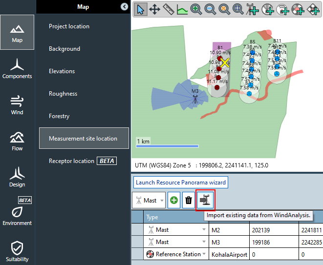
In the "Import existing data from WindAnalysis" button one can choose another WindFarmer: Analyst workbook from which to import data.

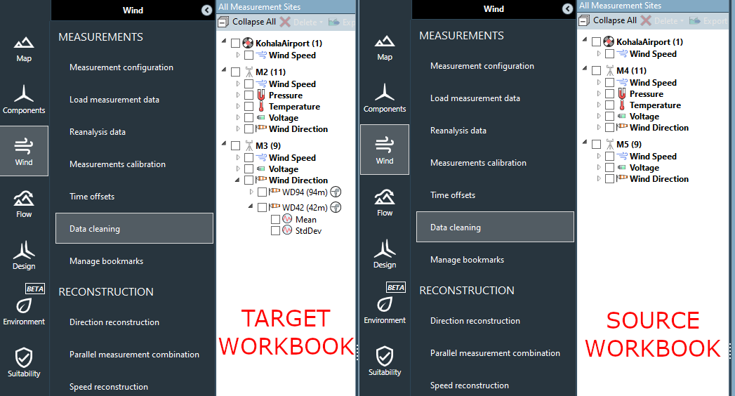
Before importing data from a source workbook (right) to a target workbook (left) their measurement trees look like this

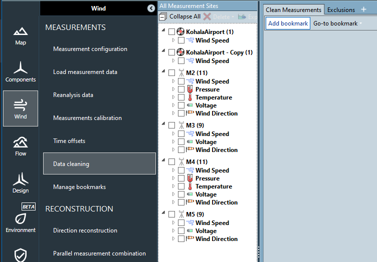
After importing the target workbook's measurement tree looks like this

Everything related to the data loading, cleaning and data quality of a wind analysis gets imported, for instance
- Mountings
- Time offsets
- Calibrations
- Exclusions
- Exclusion reasons
- Instruments
- Measurements
- Signal time series
- Calculated signal time series
- Bookmarks
This functionality is useful in a few scenarios:
- Sharing data processing and quality checking work for different sets of measurement sites between different analysts and then combining them into a single workbook to be used for the remainder of the analysis.
- Importing reference masts from other workbooks to aid in the current analysis through comparisons or benchmarks
Remarks
- Note that the most notable omissions from this import include Reconstruction data, Long-term data and Wind Climates.
- Source measurement sites with the same name of target measurement sites will get automatically renamed so as to avoid naming conflicts.
- Every measurement site will be imported, select unwanted ones after import and click on delete.
Note
Only workbooks with the same projection can be imported into one another, so make sure to convert your source workbooks to the target projection before doing any import.